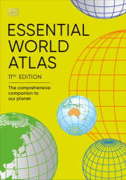
Discover a truly in-depth portrait of our planet, in this lovingly illustrated and recently updated World Atlas
Reimagined and completely updated to encompass recent world events, this large-format reference atlas offers an encyclopedic view of the whole world. It will delight and inspire any cartophile or map lover!
This stunning visual atlas of the world reveals our planet in more detail than ever before! It includes:
• More than 640 high-definition world maps based on the latest digital mapping and satellite data and over 950 high-quality illustrations and diagrams • 3D terrain models that reveal physical features • A comprehensive index that contains more than 80000 place names
This indispensable atlas book opens with a wonderful introduction to our world with a series of maps that illustrate its physical, political, economic, and demographic geography. As you continue to turn the pages, you’ll soon discover that this world atlas is unlike any other.
An ever engaging home learning resource, this Atlas delivers superb cartography through beautifully designed and incredibly informative maps, diagrams, and photographs to provide accurate coverage of the whole world. It also contains a wealth of fascinating facts that help give a real flavor of the geography and culture of a region.
New information in this edition includes everything from revised country names, such as Eswatini for Swaziland, to updated country statistics and population numbers. It’s the perfect addition to any school or family library or for geography students!